Optimize Your Route Analytics Today

Real-time travel data for tailored route monitoring.

Custom Route Monitoring

Define routes, update frequency, and duration easily.

Pay only for your monitored routes and data —no fixed fees, ever.

Intuitive dashboards for data insights and decision-making.

Flexible Pricing
Route Analytics Tools

About Waywatch

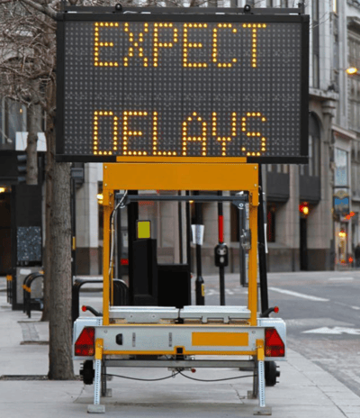
Your trusted partner in real-time route monitoring, data intelligence, and optimized traffic operation, management and planning for minimal disruption.

timelapse photography of bridge during night time

Route Monitoring & Analytics Service

Enhance planning, safety and operations with real-time travel analytics, alerts, and customizable monitoring for informed decision-making.
The interior of a car is depicted, focusing on the dashboard area. A smartphone is mounted on the dashboard, displaying a navigation app with a route, instructing to stay on Route 33. The steering wheel is visible on the left, and there are buttons for cruise control. Outside the car, traffic can be seen with several vehicles on the road.
An aerial view of a multi-lane highway with several vehicles traveling in both directions. The roads are elevated and parallel to each other, with a grayish tone dominating the scene. Vehicles of varying colors and sizes are visible, with noticeable space between them, suggesting moderate traffic.
Flexible Monitoring Plans

Only pay for the routes you choose to monitor, ensuring cost-effective and efficient service usage.

Custom Data Insights

Define your own routes, set update frequencies, data collection duration to visualize travel time analytics tailored to your needs.

woman wearing yellow long-sleeved dress under white clouds and blue sky during daytime

Waywatch transformed our route analytics, providing real-time insights that significantly improved our operational efficiency.

Steven Richards

A nighttime urban scene featuring light trails on a busy road, indicating the movement of vehicles. The left side of the road shows red light trails from cars heading away, while the right side exhibits white light trails from cars approaching. Tall buildings and various city lights are visible in the background.

The customizable dashboards and pay-as-you-go model make Waywatch an invaluable tool for our business.

Alex Ford

A signpost with directional arrows pointing to various global cities, including Sydney, Rio de Janeiro, Amsterdam, London, and New York, with the distance to each city listed in kilometers. The sky in the background is partly cloudy with patches of blue.
★★★★★
★★★★★

Get in Touch with Waywatch

Reach out for route analytics and monitoring inquiries today!

black asphalt road with rainbow sign